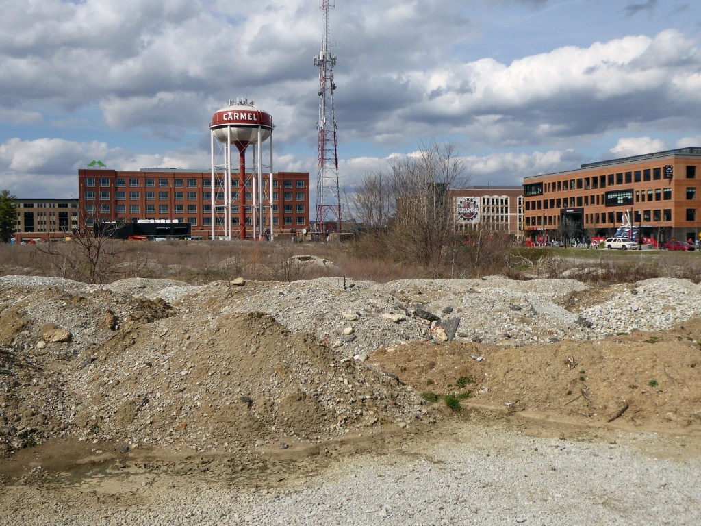
It was forecast to rain all day. But in the afternoon, the sun came out and a beautiful spring day presented itself. Julie and I have been charting out areas that we want to explore for project photographs. I had my eye on a particular location in Midtown, Carmel. Taking advantage of the beautiful day, Julie suggested that I grab the camera and we take a drive to this location. The original location, 39°58’22.1″N 86°07’49.7″W, yielded a photograph that perfectly captures the essence of Topographic: Carmel, Indiana. After a brief time, I had made four photographs only a short distance from our original location.
When heading home, we decided to drive through my old neighborhood, Thornhurst, which is well known for it modern homes. I saw a micro version of the Topographic concept of a man-made landscape, a planted birch tree surrounded by a steel bound bed of stones with a background of a house and trees. I immediately made the photograph. The “bonus day” turned out to be fruitful, especially since nothing was organized with regard to making photographs.
Notes about the photographs and the camera I am using: I decided to make the photographs in color to the present the documented man-made landscapes in as natural of a way as possible, with essentially no alterations to the photographs. As mentioned in the introduction, this detached approach results in images void of style, but full of substance, and with no editorial comment. The photographs simply show what exists. The camera I am using is a Panasonic digital camera with a Leica lens.
(Click on the longitude and latitude to show the location on Google Maps where the photograph was made.)


Leave a comment