The first day of Topographic: Carmel, Indiana was one of an overview of the project’s potential and viability. It was the day of decision whether the project would move forward and become a reality, or whether it would be put into the dustbin of ideas.
My wife, Julie, my partner in this endeavor, and I headed out to survey a few areas in Carmel to see if reality presented itself in any way that had been visualized. Indeed it did. In short order, it became very apparent that Topographic: Carmel, Indiana had seemingly unending potential and that subject matter was directly in front of our eyes.
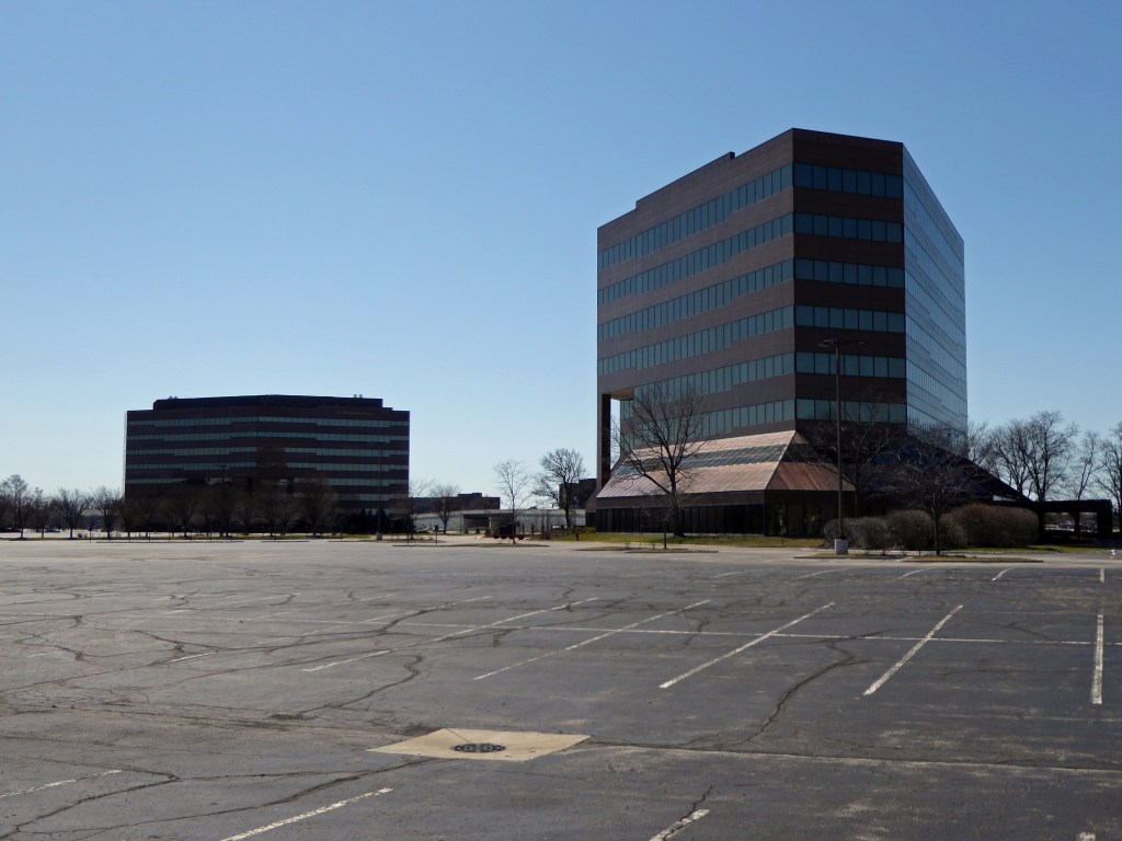
I made a few photographs and was very pleased with the results. The photographs are presented on the website based upon the day that they are made. The titles of the photographs are simply the location as specified by longitude and latitude. Click on the longitude and latitude to show the location on Google Maps where the photograph was made.
This is just the beginning of the project. Where it takes us is yet to be seen. We plan to simply follow ourselves as we move through the process of presenting Carmel, Indiana in the spirit of the great photographers of the exhibition, New Topographics, Photographs of a Man-Altered Landscape.


Leave a comment